ORLANDO, Fla. – As of late Saturday morning, all of Central Florida is under a tornado watch. That watch will expire at 6:00 P.M. A watch means conditions are favorable for tornadoes.
The greatest risk of strong to severe storms develops early this afternoon and continues into the evening.
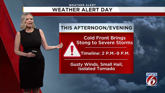
A cold front pushing into the state will trigger scattered storms between about 3 p.m. and 11 p.m., with the highest coverage expected near and north of the I-4 corridor, including the Orlando metro.
A line of storms is expected to begin moving into northern areas between 1 p.m. and 3 p.m., including Marion County, northern Volusia County, and Flagler County, before shifting toward the I-4 corridor between 4 p.m. and 6 p.m.
By 7 p.m. to 9 p.m., much of the heavier activity should be focused farther south, impacting counties like Osceola and Brevard as the line continues to push south.
The bulk of the heavier storms should move offshore by around 10 p.m., though some areas of lingering rain will remain behind the main line.
The primary threat with any stronger storms will be damaging wind gusts, with a 5–15% chance of severe winds capable of downing trees or power lines. A brief tornado or some hail cannot be ruled out, but those risks remain low.
Before storms arrive, it will feel more like summer. Afternoon highs will climb into the low to mid 90s across much of the area, with a moderate heat risk in place. That means those sensitive to heat or without access to cooling and hydration could be impacted.
It will also be a windy day even outside of storms. A wind advisory is in effect from 10 a.m. to 6 p.m., with gusts of 30 to 35 mph expected, especially north of Orlando.
Fire danger remains high
Despite storm chances, parts of Central Florida, especially south of Orlando, are under a Red Flag Warning this afternoon due to dry conditions, low humidity, and gusty winds.
Officials strongly discourage any outdoor burning, as fires could spread quickly. Even lightning strikes from storms could spark new fires that may smolder before flaring up later.
Timing and what to expect
Storms will continue pushing south through the evening, weakening later tonight as the front moves through.
Not everyone will see rain, but any storm that does form could become strong quickly given the combination of heat, moisture, and strong winds higher up in the atmosphere.
Cooler air arrives Sunday
Behind the front, conditions turn noticeably cooler Sunday, with highs dropping into the upper 70s and low 80s and a breezy north to northeast wind.
Rain chances will linger mainly across southern areas, while drier air and sunshine return farther north.
Copyright 2026 by WKMG ClickOrlando – All rights reserved.