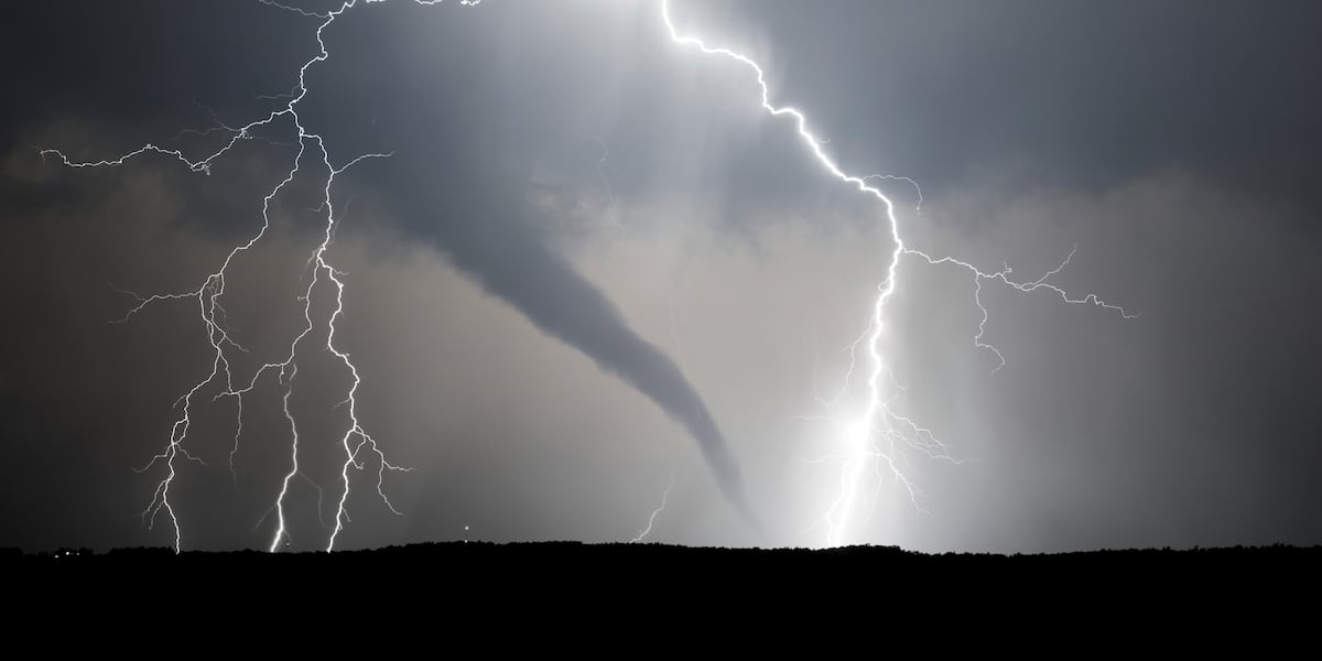
TOPEKA, Kan. (WIBW) – A tornado warning remains for northwestern Dickinson and southern Clay counties, according to the National Weather Service.
At 4:55 p.m., a severe thunderstorm capable of producing a tornado was located near Manchester, moving northeast at 35 mph.
A tornado warning for these counties will remain in effect until 5:15 p.m.
Locations impacted include: Wakefield, Manchester, Longford, Oak Hill, and Idana.
Tornado warnings also remain in effect for northwestern Riley, southeastern Washington, northeastern Clay and southwestern Marshall counties.
At 4:53 p.m., a severe thunderstorm capable of producing a tornado was located 10 miles northeast of Green, moving northeast at 45 mph.
Locations impacted include: Blue Rapids, Waterville, Linn, Greenleaf, Barnes, Green, and Palmer.
Several other counties remain under a tornado watch. Those counties include:
- Dickinson
- Geary
- Morris
- Clay
- Cloud
- Ottawa
- Washington
- Brown
- Jackson
- Marshall
- Nemaha
- Pottawatomie
- Riley
These counties will remain under a tornado watch until 8 p.m. Monday.
WIBW’s Weather Team will continue to monitor the weather in the Kansas area.
Join 13 NEWS Chief Meteorologist Jeremy Goodwin and 13 NEWS Meteorologist Mitchell Keyes live with the First Alert Weather at www.wibw.com/livestream/.
Check www.wibw.com/weather/ for updates on the weather.
Copyright 2026 WIBW. All rights reserved.